The Atlas
Introduction
The photograph on this page of The Atlas by Simon Carey as part of the Geograph project.
The Geograph project started in 2005 with the aim of publishing, organising and preserving representative images for every square kilometre of Great Britain, Ireland and the Isle of Man.

There are currently over 7.5m images from over 14,400 individuals and you can help contribute to the project by visiting https://www.geograph.org.uk
The Atlas
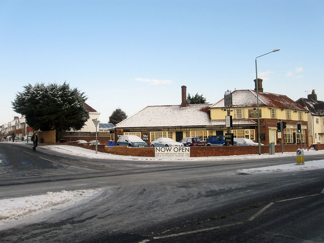
Image: © Simon Carey Taken: 7 Jan 2010
For many years a slightly dodgy pub called The Stadium but in the last year has been changed into a pub restaurant specialising in Italian food with another former section of the bar turned a cafe specialising in all day English breakfasts. Located at the junction of Old Shoreham Road and Holmes Avenue.
Images are licensed for reuse under creativecommons.org/licenses/by-sa/2.0
Image Location
Latitude
50.838995
Longitude
-0.187612