View along North Downs Way and farm road
Introduction
The photograph on this page of View along North Downs Way and farm road by Nick Smith as part of the Geograph project.
The Geograph project started in 2005 with the aim of publishing, organising and preserving representative images for every square kilometre of Great Britain, Ireland and the Isle of Man.

There are currently over 7.5m images from over 14,400 individuals and you can help contribute to the project by visiting https://www.geograph.org.uk
View along North Downs Way and farm road
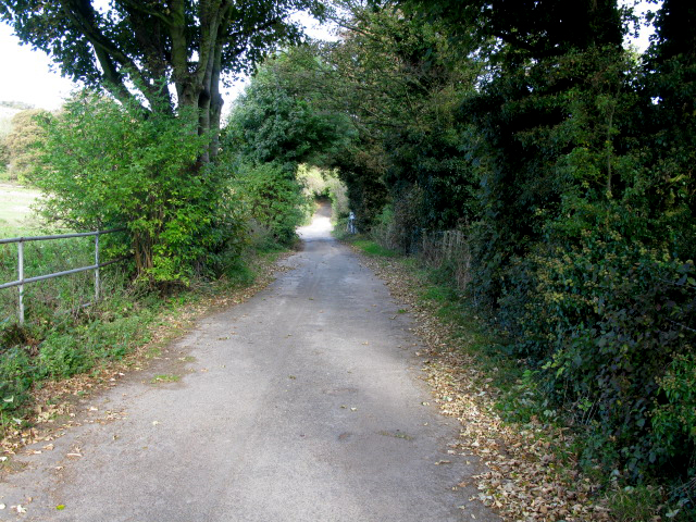
Image: © Nick Smith Taken: 18 Oct 2009
The road ends after about 500m at Whiting Farm and then continues as a footpath which is part of the North Downs Way, the White Cliffs Country Trail.
Images are licensed for reuse under creativecommons.org/licenses/by-sa/2.0
Image Location
Latitude
51.140578
Longitude
1.309074