Breedon Priory View
Introduction
The photograph on this page of Breedon Priory View by Tony Brett as part of the Geograph project.
The Geograph project started in 2005 with the aim of publishing, organising and preserving representative images for every square kilometre of Great Britain, Ireland and the Isle of Man.

There are currently over 7.5m images from over 14,400 individuals and you can help contribute to the project by visiting https://www.geograph.org.uk
Breedon Priory View
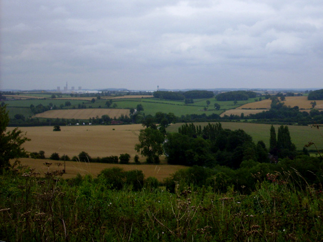
Image: © Tony Brett Taken: 25 Jul 2009
A view of farmland taken from Breedon Priory looking North East towards the cooling towers at Ratcliffe on Soar
Images are licensed for reuse under creativecommons.org/licenses/by-sa/2.0
Image Location
Latitude
52.809394
Longitude
-1.394681