Towards Brighton Marina
Introduction
The photograph on this page of Towards Brighton Marina by Simon Carey as part of the Geograph project.
The Geograph project started in 2005 with the aim of publishing, organising and preserving representative images for every square kilometre of Great Britain, Ireland and the Isle of Man.

There are currently over 7.5m images from over 14,400 individuals and you can help contribute to the project by visiting https://www.geograph.org.uk
Towards Brighton Marina
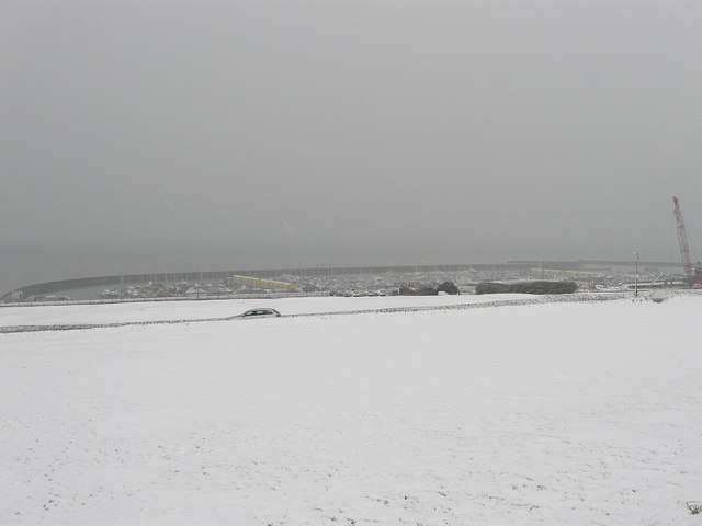
Image: © Simon Carey Taken: 6 Jan 2010
The car in the centre of the photo is not stuck in a snowdrift but is travelling down Roedean Road which has banked verges either side. Taken from Roedean Way the normally green space between the two roads is open and sometimes used as a putting green, beyond the car is Roedean Pitch and Putt golf course which leads down to the A259 then cliff top below which is the Brighton Marina.
Images are licensed for reuse under creativecommons.org/licenses/by-sa/2.0
Image Location
Latitude
50.81363
Longitude
-0.091497