Above Corner Farm
Introduction
The photograph on this page of Above Corner Farm by Derek Harper as part of the Geograph project.
The Geograph project started in 2005 with the aim of publishing, organising and preserving representative images for every square kilometre of Great Britain, Ireland and the Isle of Man.

There are currently over 7.5m images from over 14,400 individuals and you can help contribute to the project by visiting https://www.geograph.org.uk
Above Corner Farm
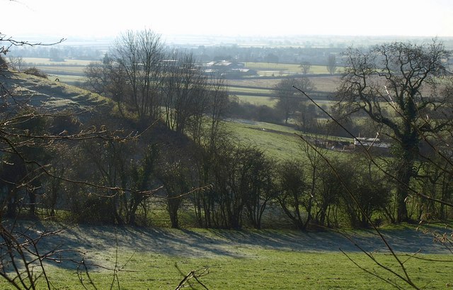
Image: © Derek Harper Taken: 2 Jan 2010
The foot of the Cotswold scarp east of the farm and west of Wotton-Under-Edge, seen from footpath CWE/44/1 between Bradley Green and Ellerncroft Road.
Images are licensed for reuse under creativecommons.org/licenses/by-sa/2.0
Image Location
Latitude
51.638834
Longitude
-2.36554