Houses at Bradley Green
Introduction
The photograph on this page of Houses at Bradley Green by Derek Harper as part of the Geograph project.
The Geograph project started in 2005 with the aim of publishing, organising and preserving representative images for every square kilometre of Great Britain, Ireland and the Isle of Man.

There are currently over 7.5m images from over 14,400 individuals and you can help contribute to the project by visiting https://www.geograph.org.uk
Houses at Bradley Green
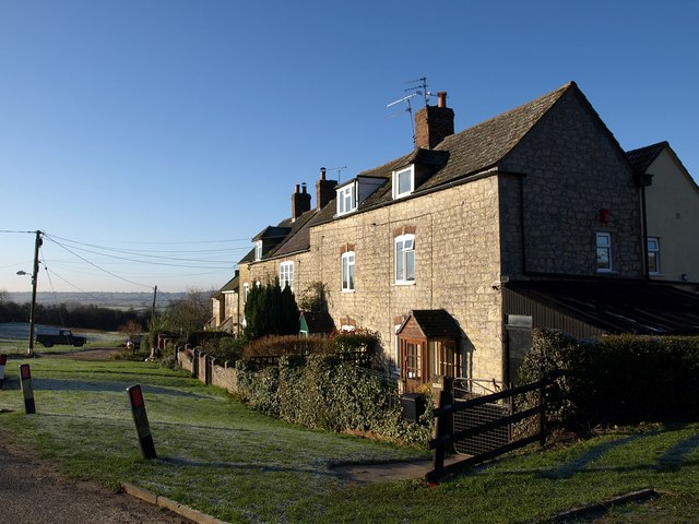
Image: © Derek Harper Taken: 2 Jan 2010
This row of houses, starting with a terrace of four, can be seen on the left of Image They face Corner Farm and its cottages across a green at the end of the no through lane shown in Image Along with the other greens at Nradley Green, this green was the subject of a commons dispute over grazing rights in the 1970s http://www.acraew.org.uk/uploads/Gloucestershire/BRADLEY%20GREEN%20-%20CRAIGMERE%20-%20STROUD%20DISTRICT%20NO.CL.138.pdf .
Images are licensed for reuse under creativecommons.org/licenses/by-sa/2.0
Image Location
Latitude
51.639907
Longitude
-2.367427