Dighty Water
Introduction
The photograph on this page of Dighty Water by Richard Webb as part of the Geograph project.
The Geograph project started in 2005 with the aim of publishing, organising and preserving representative images for every square kilometre of Great Britain, Ireland and the Isle of Man.

There are currently over 7.5m images from over 14,400 individuals and you can help contribute to the project by visiting https://www.geograph.org.uk
Dighty Water
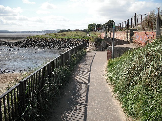
Image: © Richard Webb Taken: 7 Sep 2009
Outflow of the Dighty Water into the outer Tay estuary. The river is crossed by the Aberdeen - Dundee railway and a footbridge carrying route 1 of the National Cycle Network.
Images are licensed for reuse under creativecommons.org/licenses/by-sa/2.0
Image Location
Latitude
56.474966
Longitude
-2.835344