Blandford by-pass
Introduction
The photograph on this page of Blandford by-pass by Derek Harper as part of the Geograph project.
The Geograph project started in 2005 with the aim of publishing, organising and preserving representative images for every square kilometre of Great Britain, Ireland and the Isle of Man.

There are currently over 7.5m images from over 14,400 individuals and you can help contribute to the project by visiting https://www.geograph.org.uk
Blandford by-pass
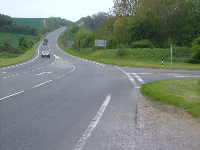
Image: © Derek Harper Taken: 6 May 2006
The B3082 (Milldown Road), the old main road into Blandford, turns off the A350 ring road as it begins its climb away from the Stour flood plain.
Images are licensed for reuse under creativecommons.org/licenses/by-sa/2.0
Image Location
Latitude
50.872264
Longitude
-2.177596