Cycleway Marker
Introduction
The photograph on this page of Cycleway Marker by wfmillar as part of the Geograph project.
The Geograph project started in 2005 with the aim of publishing, organising and preserving representative images for every square kilometre of Great Britain, Ireland and the Isle of Man.

There are currently over 7.5m images from over 14,400 individuals and you can help contribute to the project by visiting https://www.geograph.org.uk
Cycleway Marker
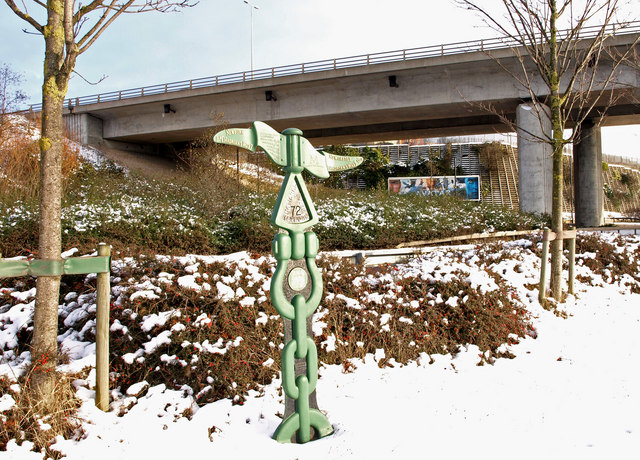
Image: © wfmillar Taken: 4 Jan 2010
National Cycle Network Route 72 Hadrian's Way. With the A1 road bridge crossing Scotswood Road.
Images are licensed for reuse under creativecommons.org/licenses/by-sa/2.0
Image Location


Leaflet Map data © OpenStreetMap
Latitude
54.971506
Longitude
-1.699106