Clarendon Avenue, Belfast
Introduction
The photograph on this page of Clarendon Avenue, Belfast by Albert Bridge as part of the Geograph project.
The Geograph project started in 2005 with the aim of publishing, organising and preserving representative images for every square kilometre of Great Britain, Ireland and the Isle of Man.

There are currently over 7.5m images from over 14,400 individuals and you can help contribute to the project by visiting https://www.geograph.org.uk
Clarendon Avenue, Belfast
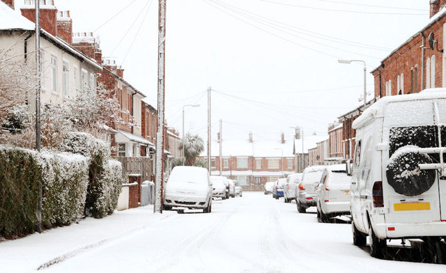
Image: © Albert Bridge Taken: 6 Jan 2010
A street (off the Bloomfield Road), built at the end of the 19th century, seen today just as the snow was easing.
Images are licensed for reuse under creativecommons.org/licenses/by-sa/2.0
Image Location
Latitude
54.591655
Longitude
-5.883014