Chase Road, London N14
Introduction
The photograph on this page of Chase Road, London N14 by Christine Matthews as part of the Geograph project.
The Geograph project started in 2005 with the aim of publishing, organising and preserving representative images for every square kilometre of Great Britain, Ireland and the Isle of Man.

There are currently over 7.5m images from over 14,400 individuals and you can help contribute to the project by visiting https://www.geograph.org.uk
Chase Road, London N14
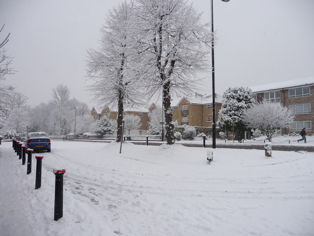
Image: © Christine Matthews Taken: 6 Jan 2010
Service road between the shops adjacent to Oakwood Station on the west side and Lakenheath/Gerrards Close. Chase Road is parallel to this service road. The Pines block of flats can be seen to the right, with the Harper Close apartment block, which was built on the site of The Grove Old People's Home, in the centre of the image.
Images are licensed for reuse under creativecommons.org/licenses/by-sa/2.0
Image Location
Latitude
51.646665
Longitude
-0.131735