Denne Park House
Introduction
The photograph on this page of Denne Park House by Dave Spicer as part of the Geograph project.
The Geograph project started in 2005 with the aim of publishing, organising and preserving representative images for every square kilometre of Great Britain, Ireland and the Isle of Man.

There are currently over 7.5m images from over 14,400 individuals and you can help contribute to the project by visiting https://www.geograph.org.uk
Denne Park House
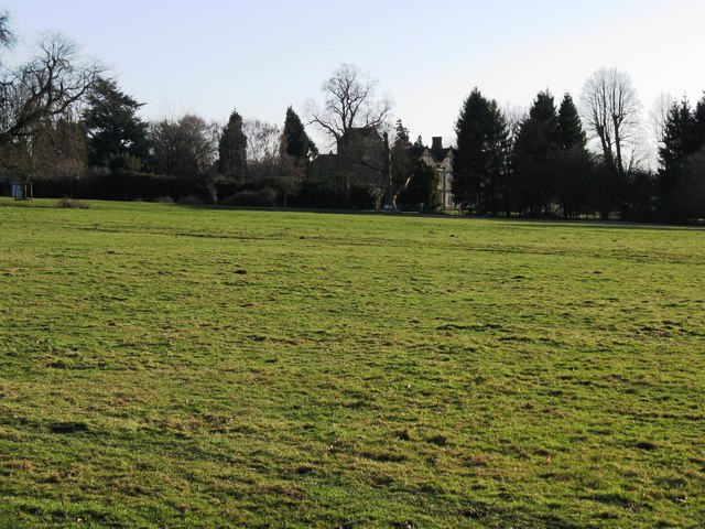
Image: © Dave Spicer Taken: 2 Jan 2010
The last private owners were the Everfields until 1947. Since the fifties the house and surrounding buildings have been converted to flats and private houses
Images are licensed for reuse under creativecommons.org/licenses/by-sa/2.0
Image Location
Latitude
51.049362
Longitude
-0.333642