St Laurence
Introduction
The photograph on this page of St Laurence by Bill Nicholls as part of the Geograph project.
The Geograph project started in 2005 with the aim of publishing, organising and preserving representative images for every square kilometre of Great Britain, Ireland and the Isle of Man.

There are currently over 7.5m images from over 14,400 individuals and you can help contribute to the project by visiting https://www.geograph.org.uk
St Laurence
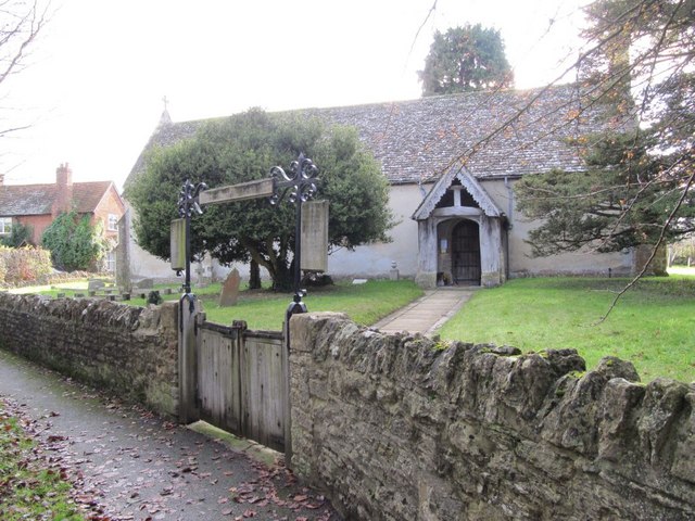
Image: © Bill Nicholls Taken: 13 Dec 2009
St Laurence, West Challow, which is not marked on the 50K OS map.
Images are licensed for reuse under creativecommons.org/licenses/by-sa/2.0
Image Location


Leaflet Map data © OpenStreetMap
Latitude
51.59245
Longitude
-1.471615