The Ducie Bridge Public House, Manchester
Introduction
The photograph on this page of The Ducie Bridge Public House, Manchester by Stephen Armstrong as part of the Geograph project.
The Geograph project started in 2005 with the aim of publishing, organising and preserving representative images for every square kilometre of Great Britain, Ireland and the Isle of Man.

There are currently over 7.5m images from over 14,400 individuals and you can help contribute to the project by visiting https://www.geograph.org.uk
The Ducie Bridge Public House, Manchester
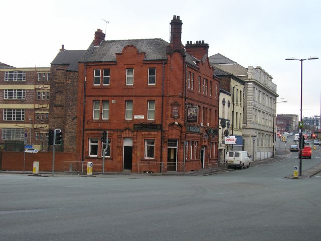
Image: © Stephen Armstrong Taken: 15 Dec 2009
At the junction of Corporation Street (left to right) & Miller Street (straight ahead).
Images are licensed for reuse under creativecommons.org/licenses/by-sa/2.0
Image Location
Latitude
53.487742
Longitude
-2.239888