North Downs Way on Long Hill
Introduction
The photograph on this page of North Downs Way on Long Hill by David Anstiss as part of the Geograph project.
The Geograph project started in 2005 with the aim of publishing, organising and preserving representative images for every square kilometre of Great Britain, Ireland and the Isle of Man.

There are currently over 7.5m images from over 14,400 individuals and you can help contribute to the project by visiting https://www.geograph.org.uk
North Downs Way on Long Hill
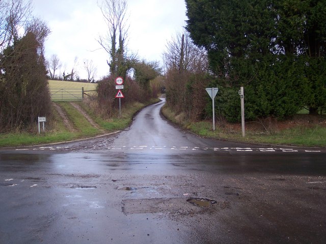
Image: © David Anstiss Taken: 28 Dec 2009
The long distance path heads up Long Hill heading towards Old Wives Lees. New Cut Road, heads left towards Rhode Common, from the A252 Canterbury Road, near Chilham.
Images are licensed for reuse under creativecommons.org/licenses/by-sa/2.0
Image Location
Latitude
51.247059
Longitude
0.964446