End of London Road, Southend, looking west
Introduction
The photograph on this page of End of London Road, Southend, looking west by John Rostron as part of the Geograph project.
The Geograph project started in 2005 with the aim of publishing, organising and preserving representative images for every square kilometre of Great Britain, Ireland and the Isle of Man.

There are currently over 7.5m images from over 14,400 individuals and you can help contribute to the project by visiting https://www.geograph.org.uk
End of London Road, Southend, looking west
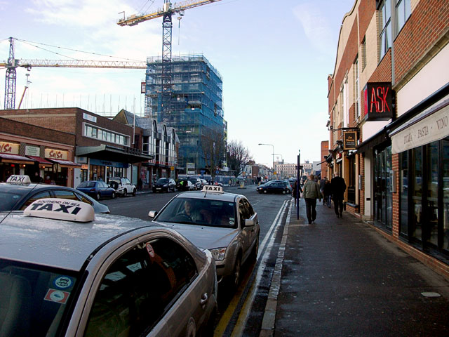
Image: © John Rostron Taken: 4 Jan 2010
This is taken from the same spot as Image, looking the other way. This final stretch of the London Road, after losing its status as the A13, is now a cul-de-sac used for parking and a taxi rank. The Italian restaurant to the right is good for a coffee on a freezing January morning.
Images are licensed for reuse under creativecommons.org/licenses/by-sa/2.0
Image Location
Latitude
51.54029
Longitude
0.711024