Brynglas Crescent, Newport
Introduction
The photograph on this page of Brynglas Crescent, Newport by Jaggery as part of the Geograph project.
The Geograph project started in 2005 with the aim of publishing, organising and preserving representative images for every square kilometre of Great Britain, Ireland and the Isle of Man.

There are currently over 7.5m images from over 14,400 individuals and you can help contribute to the project by visiting https://www.geograph.org.uk
Brynglas Crescent, Newport
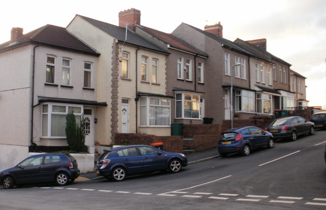
Image: © Jaggery Taken: 3 Jan 2010
Houses on the south side of Brynglas Crescent, a short road whose western end connects with Crindau Road. The eastern end of Brynglas Crescent connects with the point where the top end of Redland Street becomes the lower end of Brynglas Avenue. http://www.geograph.org.uk/photo/2046750 to the other side of the street.
Images are licensed for reuse under creativecommons.org/licenses/by-sa/2.0
Image Location
Latitude
51.600084
Longitude
-2.999059