Walkway in Stathern
Introduction
The photograph on this page of Walkway in Stathern by Kate Jewell as part of the Geograph project.
The Geograph project started in 2005 with the aim of publishing, organising and preserving representative images for every square kilometre of Great Britain, Ireland and the Isle of Man.

There are currently over 7.5m images from over 14,400 individuals and you can help contribute to the project by visiting https://www.geograph.org.uk
Walkway in Stathern
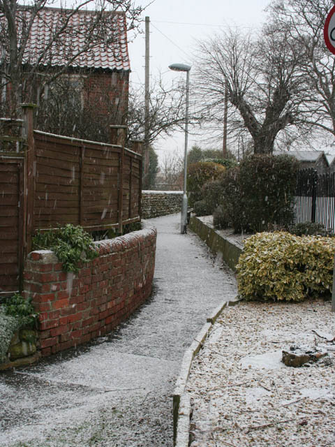
Image: © Kate Jewell Taken: 2 Jan 2010
This narrow path links School Lane to Water Lane by a route behind the school.
Images are licensed for reuse under creativecommons.org/licenses/by-sa/2.0
Image Location
Latitude
52.870766
Longitude
-0.854386