Lower Lickhill Road
Introduction
The photograph on this page of Lower Lickhill Road by P L Chadwick as part of the Geograph project.
The Geograph project started in 2005 with the aim of publishing, organising and preserving representative images for every square kilometre of Great Britain, Ireland and the Isle of Man.

There are currently over 7.5m images from over 14,400 individuals and you can help contribute to the project by visiting https://www.geograph.org.uk
Lower Lickhill Road
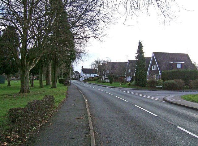
Image: © P L Chadwick Taken: 31 Dec 2009
On the left is Stourport War Memorial Park. On the right is the start of Stagborough Way, which is the main road through the Lickhill Estate, a post-war housing development. Lower Lickhill Road shortly becomes Lickhill Road.
Images are licensed for reuse under creativecommons.org/licenses/by-sa/2.0
Image Location
Latitude
52.343654
Longitude
-2.287806