Cheese Gate Nab
Introduction
The photograph on this page of Cheese Gate Nab by Barry Hurst as part of the Geograph project.
The Geograph project started in 2005 with the aim of publishing, organising and preserving representative images for every square kilometre of Great Britain, Ireland and the Isle of Man.

There are currently over 7.5m images from over 14,400 individuals and you can help contribute to the project by visiting https://www.geograph.org.uk
Cheese Gate Nab
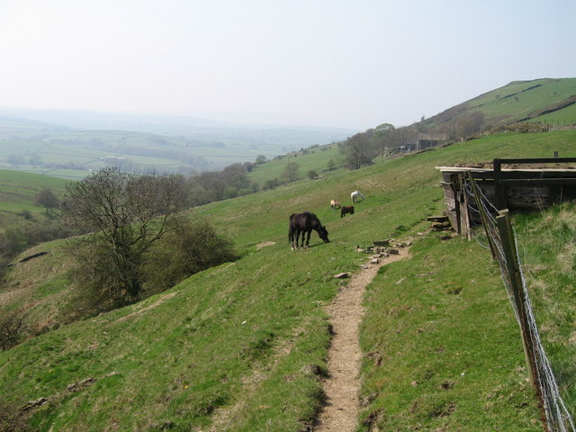
Image: © Barry Hurst Taken: 4 May 2006
Taken from the fields south of Mill Shaw Lane on the Barnsley Boundary Walk. Upper Millshaw Hall Farm, beyond the horses, nestles under Cheese Gate Nab, a gentle Pennine escarpment which rises to 385m (1263ft).
Images are licensed for reuse under creativecommons.org/licenses/by-sa/2.0
Image Location


Leaflet Map data © OpenStreetMap
Latitude
53.55574
Longitude
-1.738819