Scratchbury Hill
Introduction
The photograph on this page of Scratchbury Hill by Roger Gittins as part of the Geograph project.
The Geograph project started in 2005 with the aim of publishing, organising and preserving representative images for every square kilometre of Great Britain, Ireland and the Isle of Man.

There are currently over 7.5m images from over 14,400 individuals and you can help contribute to the project by visiting https://www.geograph.org.uk
Scratchbury Hill
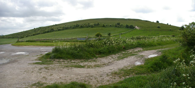
Image: © Roger Gittins Taken: 20 May 2009
Imber Range Path meanders from the viewpoint to the signpost on the left then up to the hedge line then around Scratchbury Hill to the left. For a view from the signpost see Image
Images are licensed for reuse under creativecommons.org/licenses/by-sa/2.0
Image Location
Latitude
51.197307
Longitude
-2.128038