This little used public footpath
Introduction
The photograph on this page of This little used public footpath by dinglefoot as part of the Geograph project.
The Geograph project started in 2005 with the aim of publishing, organising and preserving representative images for every square kilometre of Great Britain, Ireland and the Isle of Man.

There are currently over 7.5m images from over 14,400 individuals and you can help contribute to the project by visiting https://www.geograph.org.uk
This little used public footpath
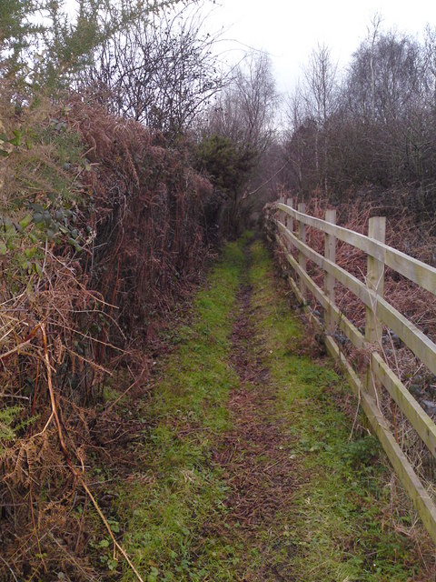
Image: © dinglefoot Taken: 31 Dec 2009
This little used public footpath links St John's Road with Peewit Hill, running parallel to the M27. Peewit Hill is now a cul-de-sac, due to the fact it was sliced in two by the construction of the M27 motorway in the early 80s. The remainder of Peewit Hill still exists the eastern side of the motorway, now re named Peewit Close
Images are licensed for reuse under creativecommons.org/licenses/by-sa/2.0
Image Location
Latitude
50.900972
Longitude
-1.315938