Old lane to Dell of Inshes
Introduction
The photograph on this page of Old lane to Dell of Inshes by don cload as part of the Geograph project.
The Geograph project started in 2005 with the aim of publishing, organising and preserving representative images for every square kilometre of Great Britain, Ireland and the Isle of Man.

There are currently over 7.5m images from over 14,400 individuals and you can help contribute to the project by visiting https://www.geograph.org.uk
Old lane to Dell of Inshes
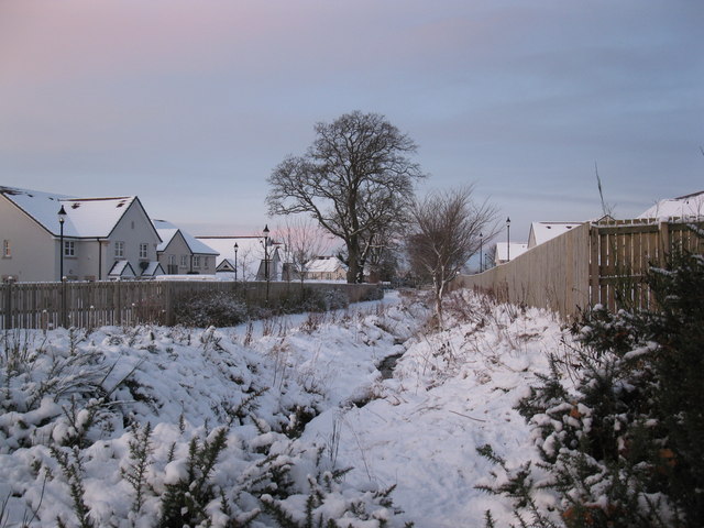
Image: © don cload Taken: 23 Dec 2009
The lane has been restricted here to just a footpath running beside the stream. It is still shown on the OS maps (in yellow) as a road.
Images are licensed for reuse under creativecommons.org/licenses/by-sa/2.0
Image Location
Latitude
57.466203
Longitude
-4.186312