Field edge path
Introduction
The photograph on this page of Field edge path by Michael Dibb as part of the Geograph project.
The Geograph project started in 2005 with the aim of publishing, organising and preserving representative images for every square kilometre of Great Britain, Ireland and the Isle of Man.

There are currently over 7.5m images from over 14,400 individuals and you can help contribute to the project by visiting https://www.geograph.org.uk
Field edge path
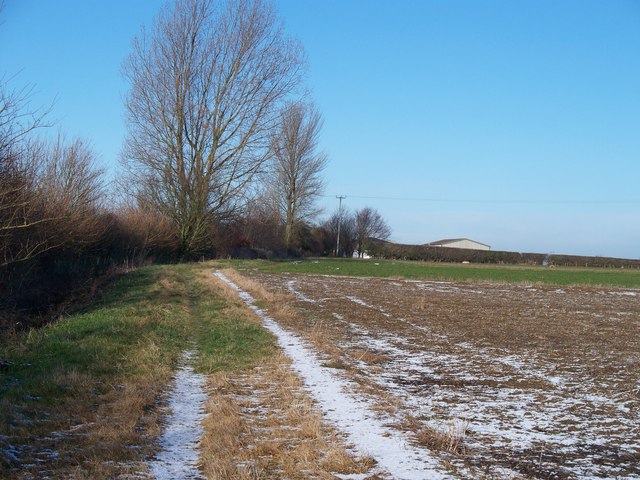
Image: © Michael Dibb Taken: 22 Dec 2009
The footpath forming part of the Heart of England Way, Monarch's Way and Diamond Way follows the field edge as it heads north away from Chipping Campden.
Images are licensed for reuse under creativecommons.org/licenses/by-sa/2.0
Image Location
Latitude
52.056006
Longitude
-1.773606