Moor Dyke near the A52
Introduction
The photograph on this page of Moor Dyke near the A52 by Kate Jewell as part of the Geograph project.
The Geograph project started in 2005 with the aim of publishing, organising and preserving representative images for every square kilometre of Great Britain, Ireland and the Isle of Man.

There are currently over 7.5m images from over 14,400 individuals and you can help contribute to the project by visiting https://www.geograph.org.uk
Moor Dyke near the A52
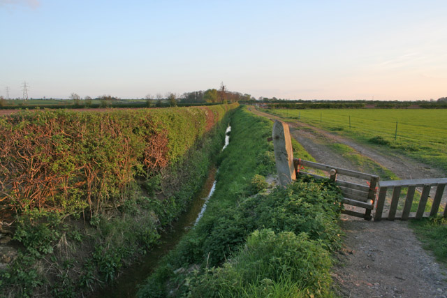
Image: © Kate Jewell Taken: 3 May 2006
The Vale of Belvoir soil is mainly heavy clay. A network of small streams and drainage ditches help to keep the soil from waterlogging. This ditch feeds into the River Whipling at Blackberry Hill in Image
Images are licensed for reuse under creativecommons.org/licenses/by-sa/2.0
Image Location
Latitude
52.938595
Longitude
-0.878041