Demolition in Larcombe Close, Croydon
Introduction
The photograph on this page of Demolition in Larcombe Close, Croydon by Dr Neil Clifton as part of the Geograph project.
The Geograph project started in 2005 with the aim of publishing, organising and preserving representative images for every square kilometre of Great Britain, Ireland and the Isle of Man.

There are currently over 7.5m images from over 14,400 individuals and you can help contribute to the project by visiting https://www.geograph.org.uk
Demolition in Larcombe Close, Croydon
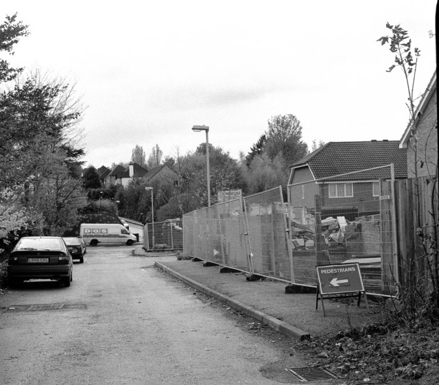
Image: © Dr Neil Clifton Taken: 13 Nov 1997
When the Woodside to Sanderstead railway closed at the end of September 1983, the trackbed, no longer required by British Railways, was put on sale and a nice plot near the site of Coombe Road station was acquired by a group of developers, who built some very nice bijou dwellings on it. Sadly the developers had not kept their eyes on the plans being drawn up for Croydon Tramlink, and some of the bijou dwellings had to be demolished before they had ever been lived in.
Images are licensed for reuse under creativecommons.org/licenses/by-sa/2.0
Image Location
Latitude
51.365495
Longitude
-0.083295