Footpath near Puddletown
Introduction
The photograph on this page of Footpath near Puddletown by Maigheach-gheal as part of the Geograph project.
The Geograph project started in 2005 with the aim of publishing, organising and preserving representative images for every square kilometre of Great Britain, Ireland and the Isle of Man.

There are currently over 7.5m images from over 14,400 individuals and you can help contribute to the project by visiting https://www.geograph.org.uk
Footpath near Puddletown
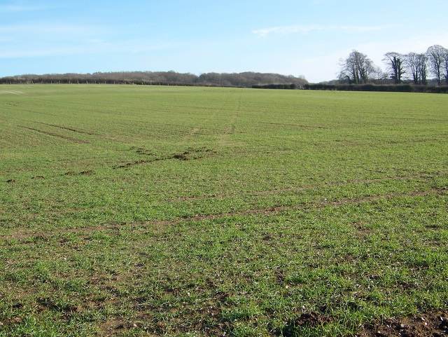
Image: © Maigheach-gheal Taken: 28 Dec 2009
The path from Milom Lane is not visible on the ground, but it cross diagonally across this field of winter sown crops to continue on to Admiston Farm.
Images are licensed for reuse under creativecommons.org/licenses/by-sa/2.0
Image Location
Latitude
50.740625
Longitude
-2.335539