The Byker Wall
Introduction
The photograph on this page of The Byker Wall by Vicki Deritis as part of the Geograph project.
The Geograph project started in 2005 with the aim of publishing, organising and preserving representative images for every square kilometre of Great Britain, Ireland and the Isle of Man.

There are currently over 7.5m images from over 14,400 individuals and you can help contribute to the project by visiting https://www.geograph.org.uk
The Byker Wall
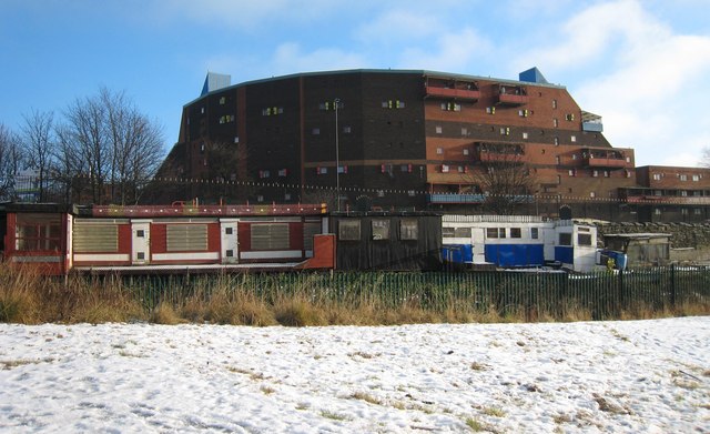
Image: © Vicki Deritis Taken: 25 Dec 2009
The Byker wall with pigeon sheds in the foreground taken from the cycle path.
Images are licensed for reuse under creativecommons.org/licenses/by-sa/2.0
Image Location
Latitude
54.974847
Longitude
-1.582849