Slag heaps beside Ladymoor Road
Introduction
The photograph on this page of Slag heaps beside Ladymoor Road by John M as part of the Geograph project.
The Geograph project started in 2005 with the aim of publishing, organising and preserving representative images for every square kilometre of Great Britain, Ireland and the Isle of Man.

There are currently over 7.5m images from over 14,400 individuals and you can help contribute to the project by visiting https://www.geograph.org.uk
Slag heaps beside Ladymoor Road
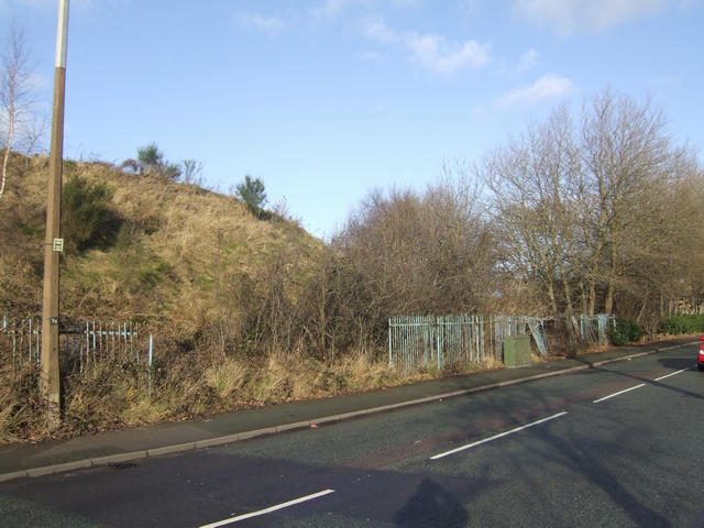
Image: © John M Taken: 26 Dec 2009
The slag heaps are a legacy of the coal, iron and steel industries that have shaped the town. The thick coal seams and ironstone of the South Staffordshire Coalfield were exploited with major development in the 18th and 19th centuries through the influence of John Wilkinson at Bradley and the Bilston ironfounders. Stewarts and Lloyds continued steelmaking on this site until 1979.
Images are licensed for reuse under creativecommons.org/licenses/by-sa/2.0
Image Location
Latitude
52.553619
Longitude
-2.088449