Playing fields on Hardwick Heath
Introduction
The photograph on this page of Playing fields on Hardwick Heath by Bob Jones as part of the Geograph project.
The Geograph project started in 2005 with the aim of publishing, organising and preserving representative images for every square kilometre of Great Britain, Ireland and the Isle of Man.

There are currently over 7.5m images from over 14,400 individuals and you can help contribute to the project by visiting https://www.geograph.org.uk
Playing fields on Hardwick Heath
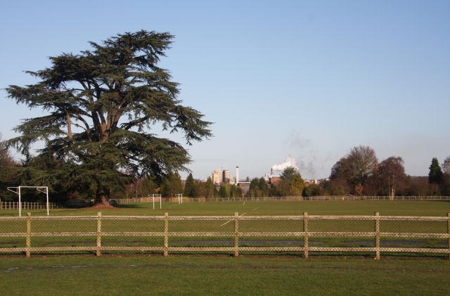
Image: © Bob Jones Taken: 26 Dec 2009
Viewed from St Edmunds Way, across Hardwick Heath. Visible in the distance are the tower of St Edmundsbury Cathedral, the sugar beet factory, and the tall chimneys of the Greene King brewery in Bury St Edmunds.
Images are licensed for reuse under creativecommons.org/licenses/by-sa/2.0
Image Location
Latitude
52.229795
Longitude
0.711405