The western edge of Purton Stoke
Introduction
The photograph on this page of The western edge of Purton Stoke by Brian Robert Marshall as part of the Geograph project.
The Geograph project started in 2005 with the aim of publishing, organising and preserving representative images for every square kilometre of Great Britain, Ireland and the Isle of Man.

There are currently over 7.5m images from over 14,400 individuals and you can help contribute to the project by visiting https://www.geograph.org.uk
The western edge of Purton Stoke
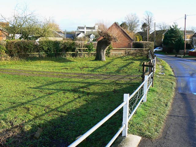
Image: © Brian Robert Marshall Taken: 27 Dec 2009
Purton Stoke is a small village between Purton and Cricklade situated off the B4553. This rather prosaic image has been imaginatively used with my blessings by a slightly other-worldly blogger to create this treatment http://bakerblinker.files.wordpress.com/2010/03/olean21.jpg
Images are licensed for reuse under creativecommons.org/licenses/by-sa/2.0
Image Location
Latitude
51.613351
Longitude
-1.873584