Public Footpath to Lambley
Introduction
The photograph on this page of Public Footpath to Lambley by No Body as part of the Geograph project.
The Geograph project started in 2005 with the aim of publishing, organising and preserving representative images for every square kilometre of Great Britain, Ireland and the Isle of Man.

There are currently over 7.5m images from over 14,400 individuals and you can help contribute to the project by visiting https://www.geograph.org.uk
Public Footpath to Lambley
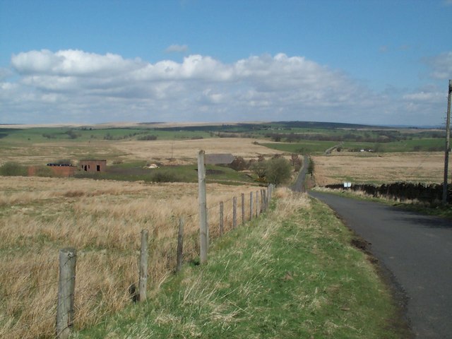
Image: © No Body Taken: 3 May 2006
If you follow this public footpath to Lambley and try to continue straight on it, beyond Lambley as indicated on the OS Map your way is blocked and you have to take the footpath with branches off to the right. In any case, even if you were able to go straight on you'd soon come to a stop as the original footpath goes straight across the River South Tyne and that would be pretty wet. The footpath branching right at Lambley takes you to a footbridge.
Images are licensed for reuse under creativecommons.org/licenses/by-sa/2.0
Image Location
Latitude
54.921059
Longitude
-2.522626