Seymour Street, Belfast (2)
Introduction
The photograph on this page of Seymour Street, Belfast (2) by Albert Bridge as part of the Geograph project.
The Geograph project started in 2005 with the aim of publishing, organising and preserving representative images for every square kilometre of Great Britain, Ireland and the Isle of Man.

There are currently over 7.5m images from over 14,400 individuals and you can help contribute to the project by visiting https://www.geograph.org.uk
Seymour Street, Belfast (2)
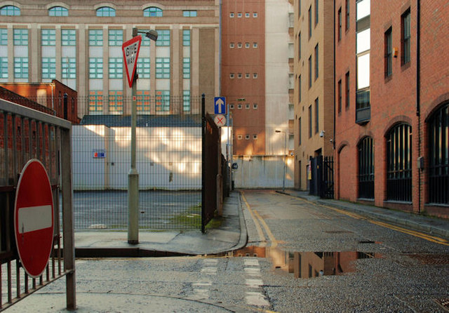
Image: © Albert Bridge Taken: 27 Dec 2009
See Image The view towards May Street with Telephone House in the background. Gloucester Street is on the left. The street has changed over the last 150 (or so) years. Now just service entrances and a private car park, it was mixed residential and commercial and had St. Patrick's Orphan Asylum on the corner of May Street.
Images are licensed for reuse under creativecommons.org/licenses/by-sa/2.0
Image Location
Latitude
54.596505
Longitude
-5.924389