Now can you see it?
Introduction
The photograph on this page of Now can you see it? by Stephen Craven as part of the Geograph project.
The Geograph project started in 2005 with the aim of publishing, organising and preserving representative images for every square kilometre of Great Britain, Ireland and the Isle of Man.

There are currently over 7.5m images from over 14,400 individuals and you can help contribute to the project by visiting https://www.geograph.org.uk
Now can you see it?
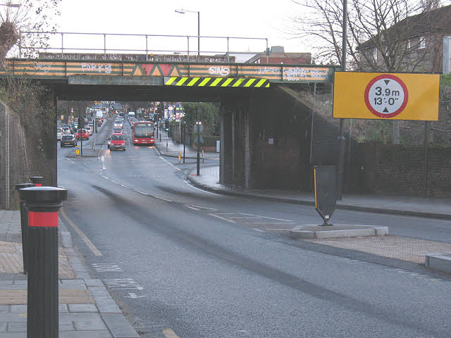
Image: © Stephen Craven Taken: 26 Dec 2009
Presumably a bridge strike prompted the highway and/or railway authorities to erect this massive height warning sign. The bridge carries the Hayes branch line over the A2218 (Southend Lane).
Images are licensed for reuse under creativecommons.org/licenses/by-sa/2.0
Image Location
Latitude
51.42778
Longitude
-0.032356