2009 : East from Palmer's Lane
Introduction
The photograph on this page of 2009 : East from Palmer's Lane by Maurice Pullin as part of the Geograph project.
The Geograph project started in 2005 with the aim of publishing, organising and preserving representative images for every square kilometre of Great Britain, Ireland and the Isle of Man.

There are currently over 7.5m images from over 14,400 individuals and you can help contribute to the project by visiting https://www.geograph.org.uk
2009 : East from Palmer's Lane
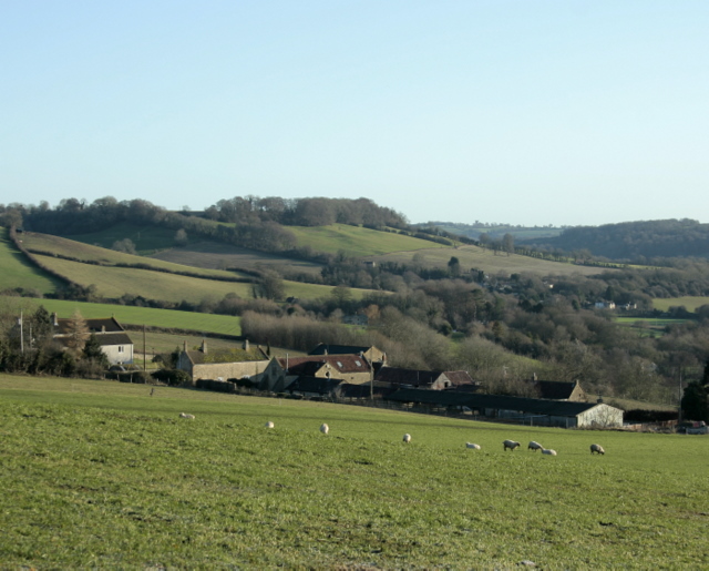
Image: © Maurice Pullin Taken: 20 Dec 2009
In the middle ages a Palmer was someone who had made the pilgrimage to Jerusalem. Over the meadow, beyond the sheep, we find Withyditch and the Cam Valley. A collection of 3D photographs in http://www.somerset3d.co.uk/logos%20&%20pictures/town%20&%20village%20pages/withyditch.html On the horizon, a little to the right, if you look carefully you will see a thing like a big mushroom, this is the water tower above Limpley Stoke and Freshford Image
Images are licensed for reuse under creativecommons.org/licenses/by-sa/2.0
Image Location
Latitude
51.332714
Longitude
-2.432571