Cuddington Methodist Church
Introduction
The photograph on this page of Cuddington Methodist Church by Jo Lxix as part of the Geograph project.
The Geograph project started in 2005 with the aim of publishing, organising and preserving representative images for every square kilometre of Great Britain, Ireland and the Isle of Man.

There are currently over 7.5m images from over 14,400 individuals and you can help contribute to the project by visiting https://www.geograph.org.uk
Cuddington Methodist Church
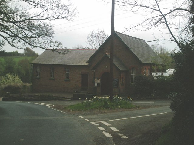
Image: © Jo Lxix Taken: 26 Apr 2006
Junction of Cuddington Lane & Mill Lane. Prior to the late 19th century, with the arrival of the railway at Image, this now rural location was at the centre of the village.
Images are licensed for reuse under creativecommons.org/licenses/by-sa/2.0
Image Location


Leaflet Map data © OpenStreetMap
Latitude
53.246164
Longitude
-2.608385