Approach to Lichfield City Station
Introduction
The photograph on this page of Approach to Lichfield City Station by Michael Westley as part of the Geograph project.
The Geograph project started in 2005 with the aim of publishing, organising and preserving representative images for every square kilometre of Great Britain, Ireland and the Isle of Man.

There are currently over 7.5m images from over 14,400 individuals and you can help contribute to the project by visiting https://www.geograph.org.uk
Approach to Lichfield City Station
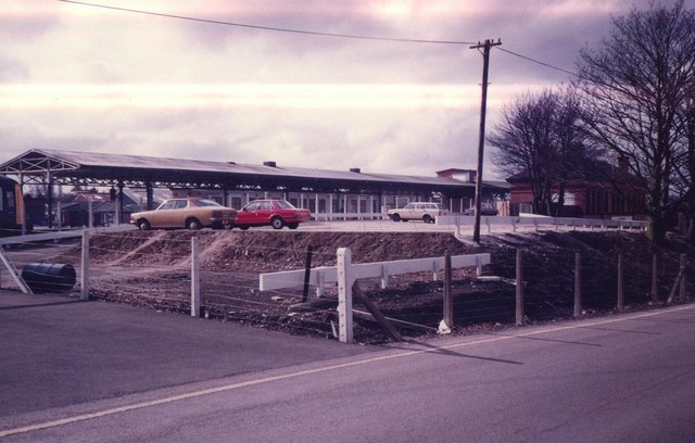
Image: © Michael Westley Taken: Unknown
Works in progress (car park ?) and platforms of station behind. In trees on right are the main buildings and entrance. Lichfield City Station became terminus for the cross-city service to Birmingham and Redditch a few years after the service began. Previously the services ended at Blake Street Station (the boundary for West Midlands travelcard validity). Later on, the services were extended further to new platforms at Lichfield Trent Valley Station (for connection to London bound trains).
Images are licensed for reuse under creativecommons.org/licenses/by-sa/2.0
Image Location
Latitude
52.680549
Longitude
-1.824826