Houses on the green lane near Bonfire Hill
Introduction
The photograph on this page of Houses on the green lane near Bonfire Hill by Eric Jones as part of the Geograph project.
The Geograph project started in 2005 with the aim of publishing, organising and preserving representative images for every square kilometre of Great Britain, Ireland and the Isle of Man.

There are currently over 7.5m images from over 14,400 individuals and you can help contribute to the project by visiting https://www.geograph.org.uk
Houses on the green lane near Bonfire Hill
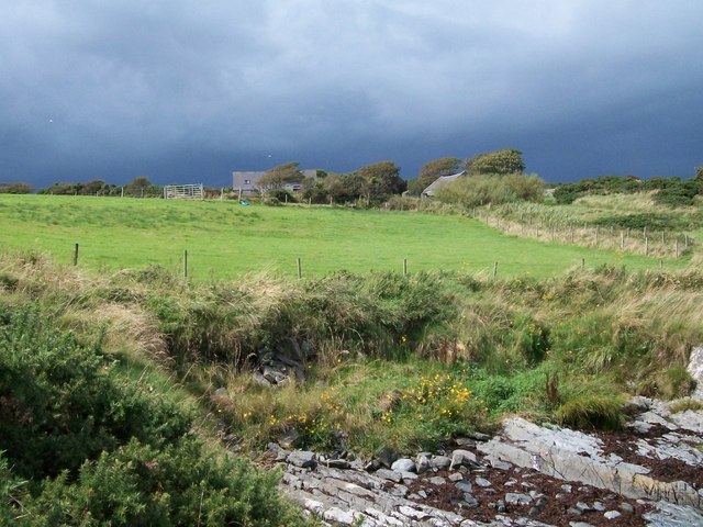
Image: © Eric Jones Taken: 20 Aug 2009
The ominous sign of the gathering storm in the background were ignored until it was too late. Ever the optimist, I reckoned that storm was moving north-eastwards towards Portaferry.
Images are licensed for reuse under creativecommons.org/licenses/by-sa/2.0
Image Location
Latitude
54.294361
Longitude
-5.561272