Christ Church, Consett
Introduction
The photograph on this page of Christ Church, Consett by Pauline E as part of the Geograph project.
The Geograph project started in 2005 with the aim of publishing, organising and preserving representative images for every square kilometre of Great Britain, Ireland and the Isle of Man.

There are currently over 7.5m images from over 14,400 individuals and you can help contribute to the project by visiting https://www.geograph.org.uk
Christ Church, Consett
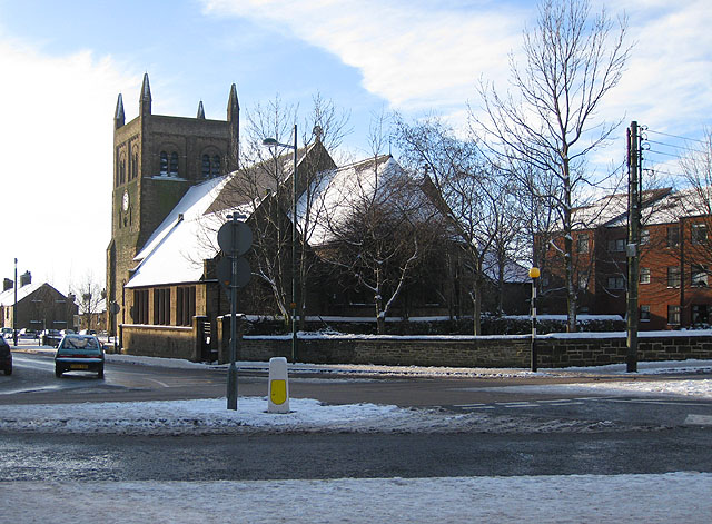
Image: © Pauline E Taken: 19 Dec 2009
A snowy view of the rear of the church which lies along the edge of a grid square. Situated at the junction of Church Street and Parliament Street. It is the Parish Church, serving Consett, Delves Lane, Crookhall, Knitsley, Templetown, Villa Real and Blackhill.
Images are licensed for reuse under creativecommons.org/licenses/by-sa/2.0
Image Location
Latitude
54.853227
Longitude
-1.834885