Path to Andoversford
Introduction
The photograph on this page of Path to Andoversford by Michael Dibb as part of the Geograph project.
The Geograph project started in 2005 with the aim of publishing, organising and preserving representative images for every square kilometre of Great Britain, Ireland and the Isle of Man.

There are currently over 7.5m images from over 14,400 individuals and you can help contribute to the project by visiting https://www.geograph.org.uk
Path to Andoversford
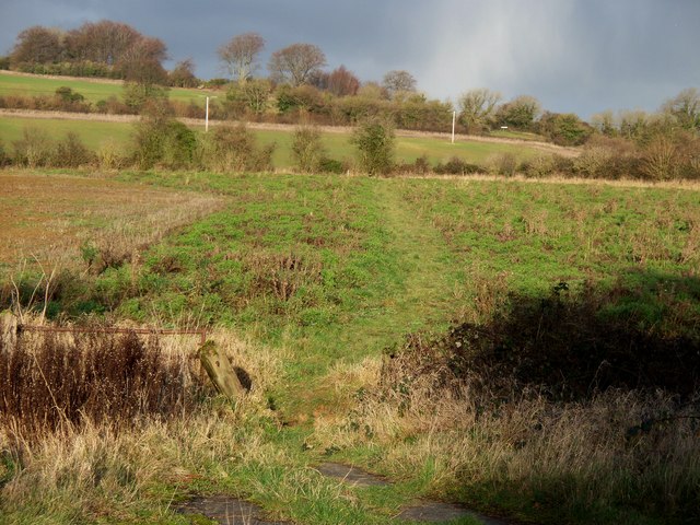
Image: © Michael Dibb Taken: 17 Dec 2009
The path between Whittington and Syreford runs across the image along the hedge line in the middle distance. A short path leads from that path to the A40 on the western edge of Andoversford. This image is taken from the central reservation of the dual carriageway A40. Note the clouds - after a day of brilliant sunshine, it started to snow 10 minutes after this image was taken.
Images are licensed for reuse under creativecommons.org/licenses/by-sa/2.0
Image Location


Leaflet Map data © OpenStreetMap
Latitude
51.879731
Longitude
-1.970754