Watford Fire Station
Introduction
The photograph on this page of Watford Fire Station by Nigel Cox as part of the Geograph project.
The Geograph project started in 2005 with the aim of publishing, organising and preserving representative images for every square kilometre of Great Britain, Ireland and the Isle of Man.

There are currently over 7.5m images from over 14,400 individuals and you can help contribute to the project by visiting https://www.geograph.org.uk
Watford Fire Station
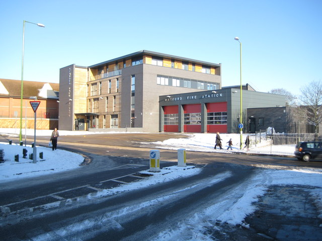
Image: © Nigel Cox Taken: 20 Dec 2009
Watford's new Fire Station in the Lower High Street was opened on 19 November 2009, replacing Image The site used to be occupied by Stapleton's Tyre Services. This view was taken from Watford Field Road. At the rear of the fire station is the new Fire Museum, occasionally open to the public - see Image and Image
Images are licensed for reuse under creativecommons.org/licenses/by-sa/2.0
Image Location
Latitude
51.651467
Longitude
-0.389137