2009 : East from the A362 near Vallis House
Introduction
The photograph on this page of 2009 : East from the A362 near Vallis House by Maurice Pullin as part of the Geograph project.
The Geograph project started in 2005 with the aim of publishing, organising and preserving representative images for every square kilometre of Great Britain, Ireland and the Isle of Man.

There are currently over 7.5m images from over 14,400 individuals and you can help contribute to the project by visiting https://www.geograph.org.uk
2009 : East from the A362 near Vallis House
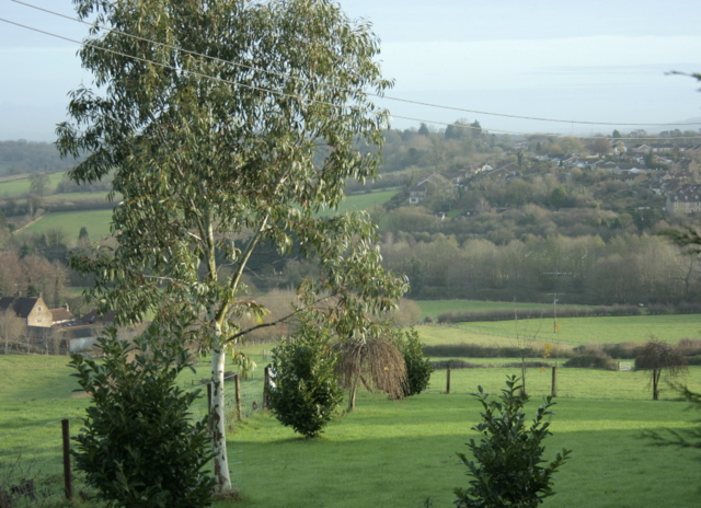
Image: © Maurice Pullin Taken: 8 Dec 2009
Looking into the valley of the River Frome as it heads north out of Frome. The river and its attendant sewage works are hidden among the trees. The northern suburbs of the town are on the far side of the valley.
Images are licensed for reuse under creativecommons.org/licenses/by-sa/2.0
Image Location
Latitude
51.238621
Longitude
-2.334568