Green Ridge
Introduction
The photograph on this page of Green Ridge by Simon Carey as part of the Geograph project.
The Geograph project started in 2005 with the aim of publishing, organising and preserving representative images for every square kilometre of Great Britain, Ireland and the Isle of Man.

There are currently over 7.5m images from over 14,400 individuals and you can help contribute to the project by visiting https://www.geograph.org.uk
Green Ridge
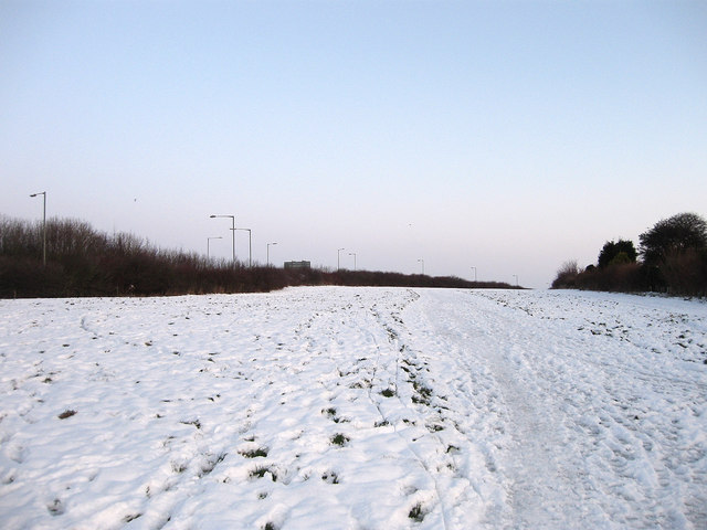
Image: © Simon Carey Taken: 20 Dec 2009
A public open space that forms the northern urban limit of Brighton. Once part of the West Blatchington Estate it was sold to the council in 1936 on the understanding that it remained an open space available for public use in perpetuity. Mostly grassland on open downland it is squeezed between the northern limits of Westdene and the A27 and extends from Dyke Road Avenue to Patcham.
Images are licensed for reuse under creativecommons.org/licenses/by-sa/2.0
Image Location
Latitude
50.859538
Longitude
-0.172748