Denmark Villas
Introduction
The photograph on this page of Denmark Villas by Simon Carey as part of the Geograph project.
The Geograph project started in 2005 with the aim of publishing, organising and preserving representative images for every square kilometre of Great Britain, Ireland and the Isle of Man.

There are currently over 7.5m images from over 14,400 individuals and you can help contribute to the project by visiting https://www.geograph.org.uk
Denmark Villas
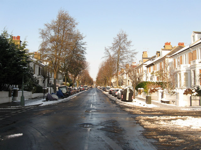
Image: © Simon Carey Taken: 18 Dec 2009
Residential road linking Blatchington Road with Hove Station becoming the B2120 towards its northern end. Taken from the junction with Eaton Gardens.
Images are licensed for reuse under creativecommons.org/licenses/by-sa/2.0
Image Location
Latitude
50.831809
Longitude
-0.170849