Collapsed trees, Whitnash Brook
Introduction
The photograph on this page of Collapsed trees, Whitnash Brook by Robin Stott as part of the Geograph project.
The Geograph project started in 2005 with the aim of publishing, organising and preserving representative images for every square kilometre of Great Britain, Ireland and the Isle of Man.

There are currently over 7.5m images from over 14,400 individuals and you can help contribute to the project by visiting https://www.geograph.org.uk
Collapsed trees, Whitnash Brook
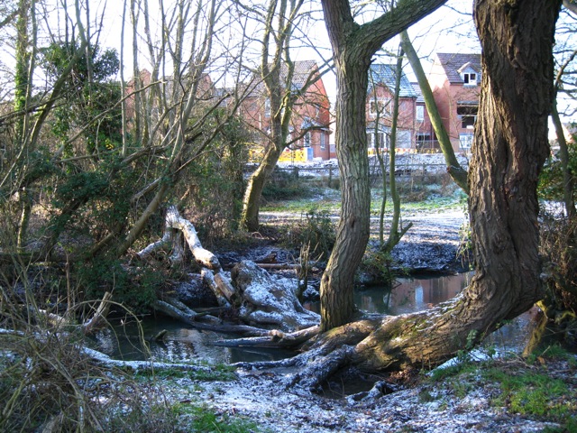
Image: © Robin Stott Taken: 20 Dec 2009
The trees provide a crossing of the brook at a potentially delightful spot, where the obstruction and an S-bend of the brook have formed a pool. Building proceeds on the last few plots of the Chesterton Heights estate in Whitnash.
Images are licensed for reuse under creativecommons.org/licenses/by-sa/2.0
Image Location
Latitude
52.273132
Longitude
-1.508996