Newcastle Street and its junction with Plymouth Street, Swindon
Introduction
The photograph on this page of Newcastle Street and its junction with Plymouth Street, Swindon by Brian Robert Marshall as part of the Geograph project.
The Geograph project started in 2005 with the aim of publishing, organising and preserving representative images for every square kilometre of Great Britain, Ireland and the Isle of Man.

There are currently over 7.5m images from over 14,400 individuals and you can help contribute to the project by visiting https://www.geograph.org.uk
Newcastle Street and its junction with Plymouth Street, Swindon
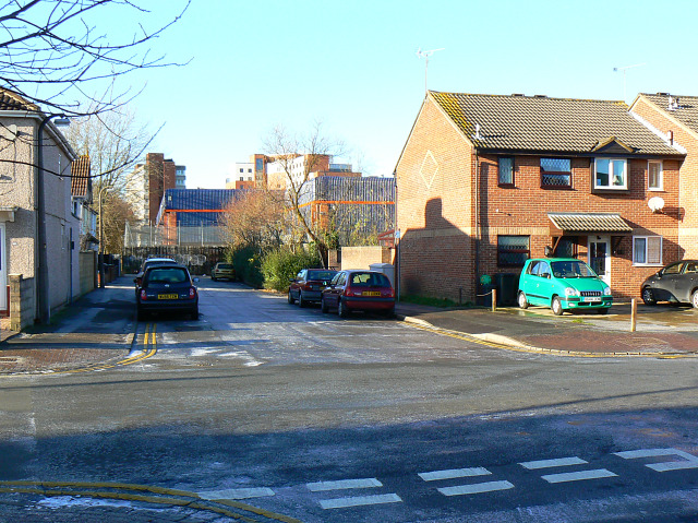
Image: © Brian Robert Marshall Taken: 20 Dec 2009
Newcastle Street passes across the image from left to right. The viewpoint is in Plymouth Street. One purpose of the section of Plymouth Street leading away from the viewpoint was to provide access to the large Garrards factory that once stood at the right, and which can be seen in this historic image from P L Chadwick Image The blue-coloured building is a retail outlet built in the early 1990s.
Images are licensed for reuse under creativecommons.org/licenses/by-sa/2.0
Image Location
Latitude
51.561687
Longitude
-1.776931