Bridgefoot, near Dundee
Introduction
The photograph on this page of Bridgefoot, near Dundee by Val Vannet as part of the Geograph project.
The Geograph project started in 2005 with the aim of publishing, organising and preserving representative images for every square kilometre of Great Britain, Ireland and the Isle of Man.

There are currently over 7.5m images from over 14,400 individuals and you can help contribute to the project by visiting https://www.geograph.org.uk
Bridgefoot, near Dundee
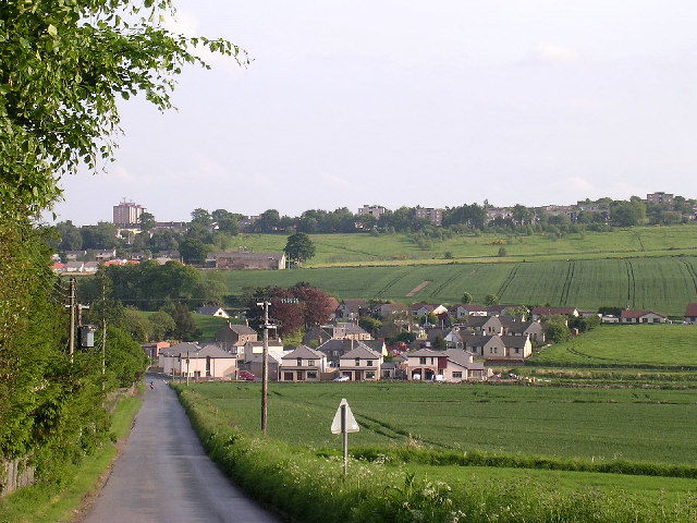
Image: © Val Vannet Taken: 7 Jun 2005
The original village at Bridgefoot developed around a number of mills on the River Dighty. Modern housing has considerable expanded the settlement in recent years bringing it ever closer to the spreading suburbs of northern Dundee (visible in the top of the photo).
Images are licensed for reuse under creativecommons.org/licenses/by-sa/2.0
Image Location


Leaflet Map data © OpenStreetMap
Latitude
56.507392
Longitude
-3.017058