Howard Place
Introduction
The photograph on this page of Howard Place by Simon Carey as part of the Geograph project.
The Geograph project started in 2005 with the aim of publishing, organising and preserving representative images for every square kilometre of Great Britain, Ireland and the Isle of Man.

There are currently over 7.5m images from over 14,400 individuals and you can help contribute to the project by visiting https://www.geograph.org.uk
Howard Place
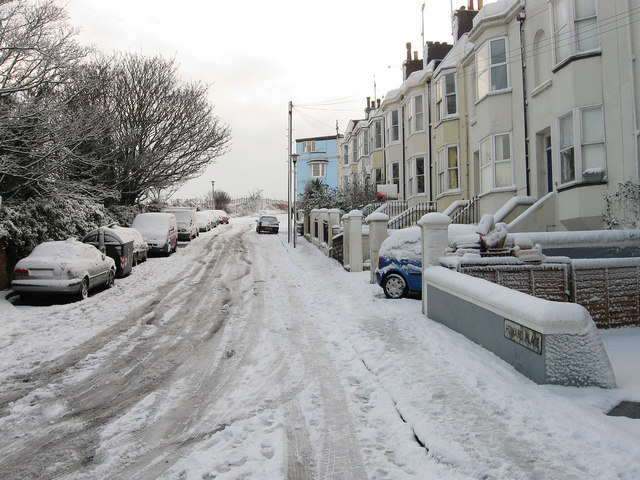
Image: © Simon Carey Taken: 18 Dec 2009
One of the steeper roads in Brighton that heads up from New England Road towards Terminus Road. Houses are found on the western side whilst the eastern side consists of a big drop down to the railway that was excavated out of the original hill.
Images are licensed for reuse under creativecommons.org/licenses/by-sa/2.0
Image Location
Latitude
50.831675
Longitude
-0.145293