Worlds End Lane
Introduction
The photograph on this page of Worlds End Lane by Ian Capper as part of the Geograph project.
The Geograph project started in 2005 with the aim of publishing, organising and preserving representative images for every square kilometre of Great Britain, Ireland and the Isle of Man.

There are currently over 7.5m images from over 14,400 individuals and you can help contribute to the project by visiting https://www.geograph.org.uk
Worlds End Lane
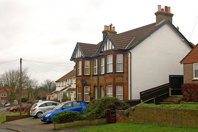
Image: © Ian Capper Taken: 9 Dec 2009
Although the houses on the right hand side of Worlds End Lane clearly date from when the road was first developed, around the turn of the 19th/20th centuries, those on the other side is generally more recent. This pair of semidetached houses is an exception, though.
Images are licensed for reuse under creativecommons.org/licenses/by-sa/2.0
Image Location
Latitude
51.350827
Longitude
0.094804