National Cycle Network route 7
Introduction
The photograph on this page of National Cycle Network route 7 by Richard Webb as part of the Geograph project.
The Geograph project started in 2005 with the aim of publishing, organising and preserving representative images for every square kilometre of Great Britain, Ireland and the Isle of Man.

There are currently over 7.5m images from over 14,400 individuals and you can help contribute to the project by visiting https://www.geograph.org.uk
National Cycle Network route 7
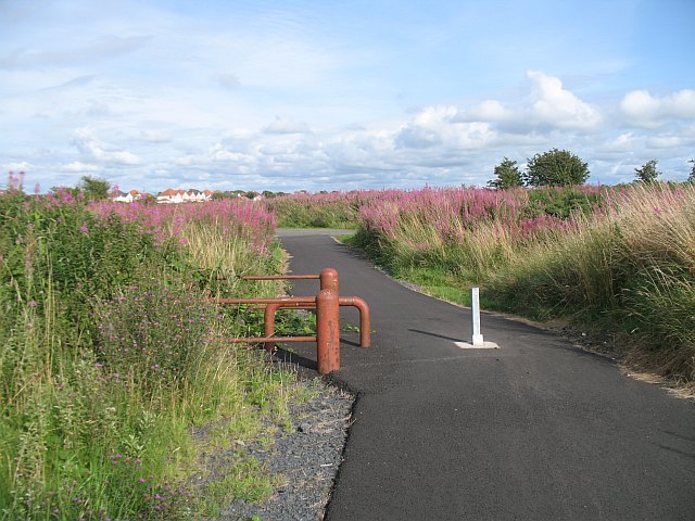
Image: © Richard Webb Taken: 13 Aug 2009
The cycle path on Towns Moor. Towns moor is an area of links, and Towns sounds rather close to the Cornish Towan or Welsh Tywyn. An example of Brythonic Celtic hanging on in Strathclyde?
Images are licensed for reuse under creativecommons.org/licenses/by-sa/2.0
Image Location
Latitude
55.626513
Longitude
-4.683361